Southern California,
and Northern Baja California
Phase 4
Also, here are some additional inks to
animations,
flybys, stereograms, and QTVR movies of this and
earlier phases of development of this model.
Download
QuickTime 3.0 and the QuickTime plugin if you don't already have
it
Phase 4:
http://www.banyantree.org/jsale/newhome/socalbaja1.mov
http://www.banyantree.org/jsale/newhome/socal5.mov
http://www.banyantree.org/jsale/newhome/sunriseovercowles.mov
Phase 3:
http://www.banyantree.org/jsale/newhome/sandiegoflyover.html
Phase 2:
http://www.sci.sdsu.edu/multimedia/workshops/3d/missiontrailsweb/
http://www.banyantree.org/jsale/newhome/stereo1.html
http://www.banyantree.org/jsale/newhome/icqtvr2.mov
Phase 1:
http://www.banyantree.org/jsale/newhome/
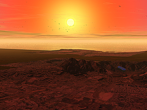
Sunrise Over Cowles Mountain
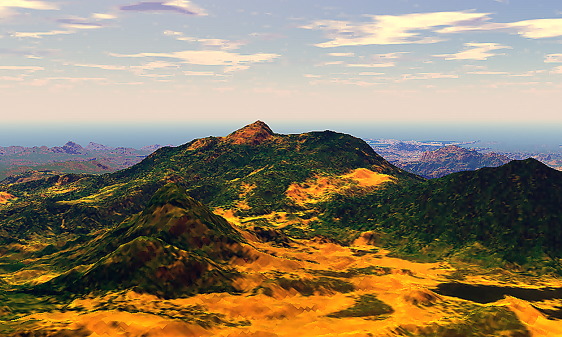
Golden Cuyamaca Peak
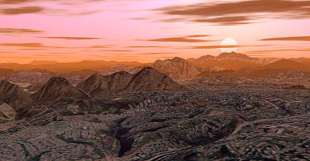
The Foot of the Santa Rosa Mountains
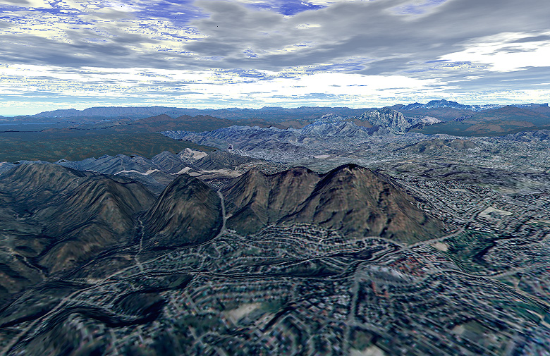
Clouds Over Cowles Mountain
(Click the image for a higher res
image, 274Kb)
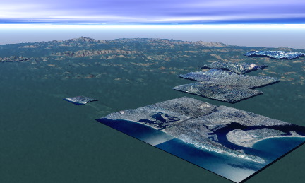
Overview of the 3D Model
(actually, this is an intermediate
version between phases 3 and 4)
Torrey Pines State Preserve
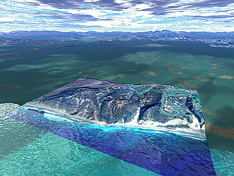
Finally, A "View From Space" of the Entire Model
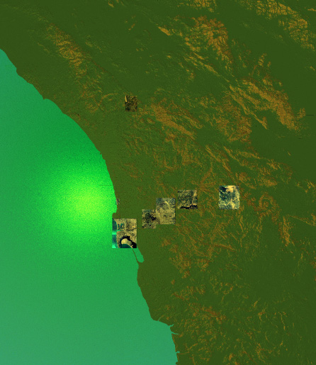
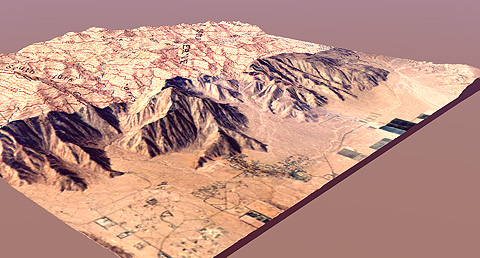
Borrego Springs and Palm Canyon (half aerial photo/half topo map)
(This image is intended to
illustrate one step in the process of creating this model, i.e.
aligning the aerial photo with the topo map)
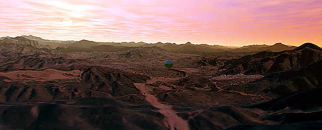
Sunrise over the San Diego River Valley
(My favorite image of the valley I
live in. In the distance, several mountains may be identified,
including Cuyamaca Peak, El Cajon Peak, Corte Madera cliffs, Los
Pinyos Peak, Lyons Peak, Mount San Miguel, and Mount
Helix)
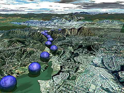
Balls in the River
(OK, so I'm a
goofball...)
Sunset Over Mission Trails
(A nice ending...)