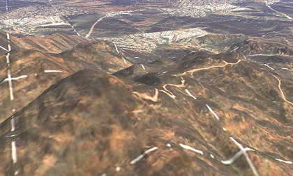
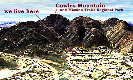
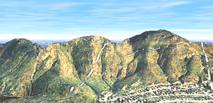
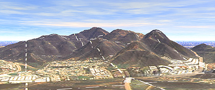
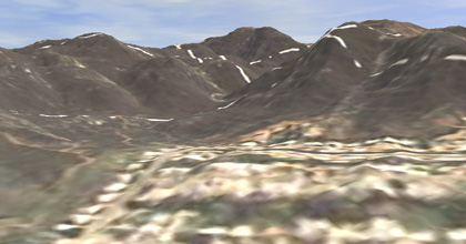
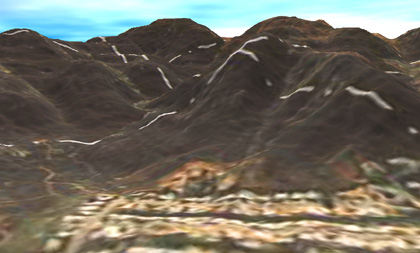
Phase 1: The Location
of our new home
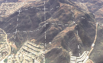
and other views of Cowles Mountain and
Mission Trails Regional Park
(as rendered with Bryce
3D, using topo maps and aerial photos kindly provided by Lisa Heizer.
The topo map is copyrighted by TOPO! The aerial image is copyrighted
by Aerial Fotobank, Inc.)
View a Flyby of Cowles
Mountain created with Bryce 3D:
QuickTime Movie (1.7
Mb)
GIF
Animation (1.7 Mb)
NEW!
See my improved model and images!
Phase 2 (as of June 1998): EVEN NEWER!!
3D Stereograms
and
a QuickTime Flyover of
San Diego
Phases 3 and 4 (as of August
1998): Southern California and Northern Baja
A view from the north looking
south
A view from the west looking
east
Other views
 A view up the valley we will
be hiking daily
A view up the valley we will
be hiking daily
 A view above from the
north
A view above from the
north
 A view from Cowles Mountain peak
looking northeast towards our home
A view from Cowles Mountain peak
looking northeast towards our home